>>2828106um do you have a truck
I was just there (wiseman's view), the road is totally fucked m80
I mean you can do it if you have AWD and an suv or truck but there's big washouts and ridges its just not a fun drive and it was super crowded when i was there (admittedly a holiday weekend)
also wiseman's view looks kinda meh from photos
do hawksbill mtn if you have the legs for it - I swear I remember seeing a burnt out campfire at the summit but I don't know if you can camp there
>trying to see the Brown Mountain lights>I've ben planning a road trip along the Blue Ridge Parkway a lot of it is still shut down but the pretty parts west/east of asheville are open just plug it into google maps and it routes you around the closures
when i was there a mexican family SLAMMED their dodge charger into the stone wall that like borders the road and the cops were there - they all looked unharmed
tow truck passed me on my way out
pro-tip: don't bother with the blue ridge parkway between nc/va border and roanoke - the good stuff is closed and the rest is no good views (the part north of roanoke is nice though esp apple orchard falls if you haven't seen that)
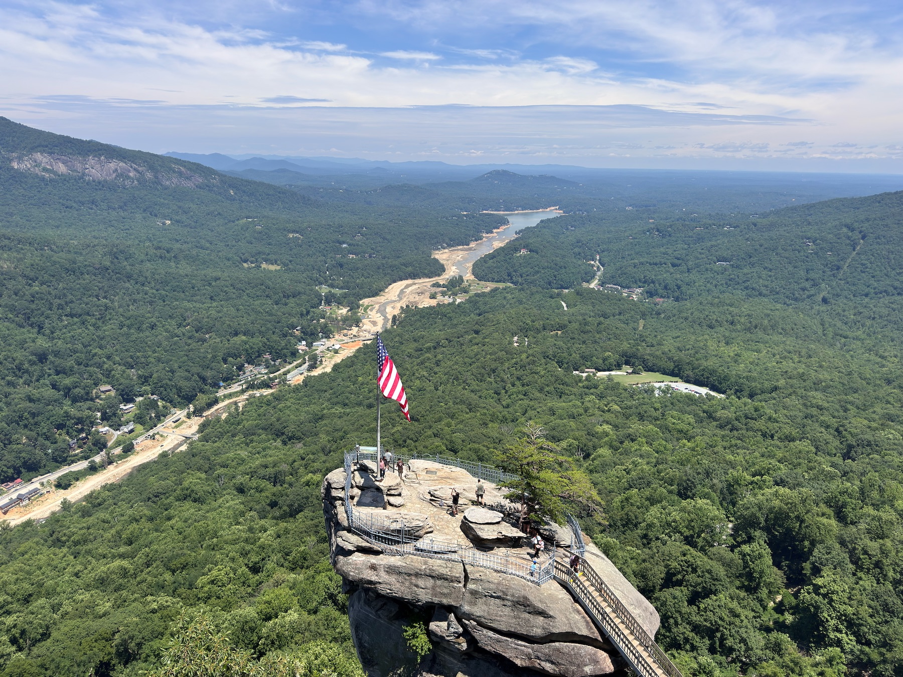
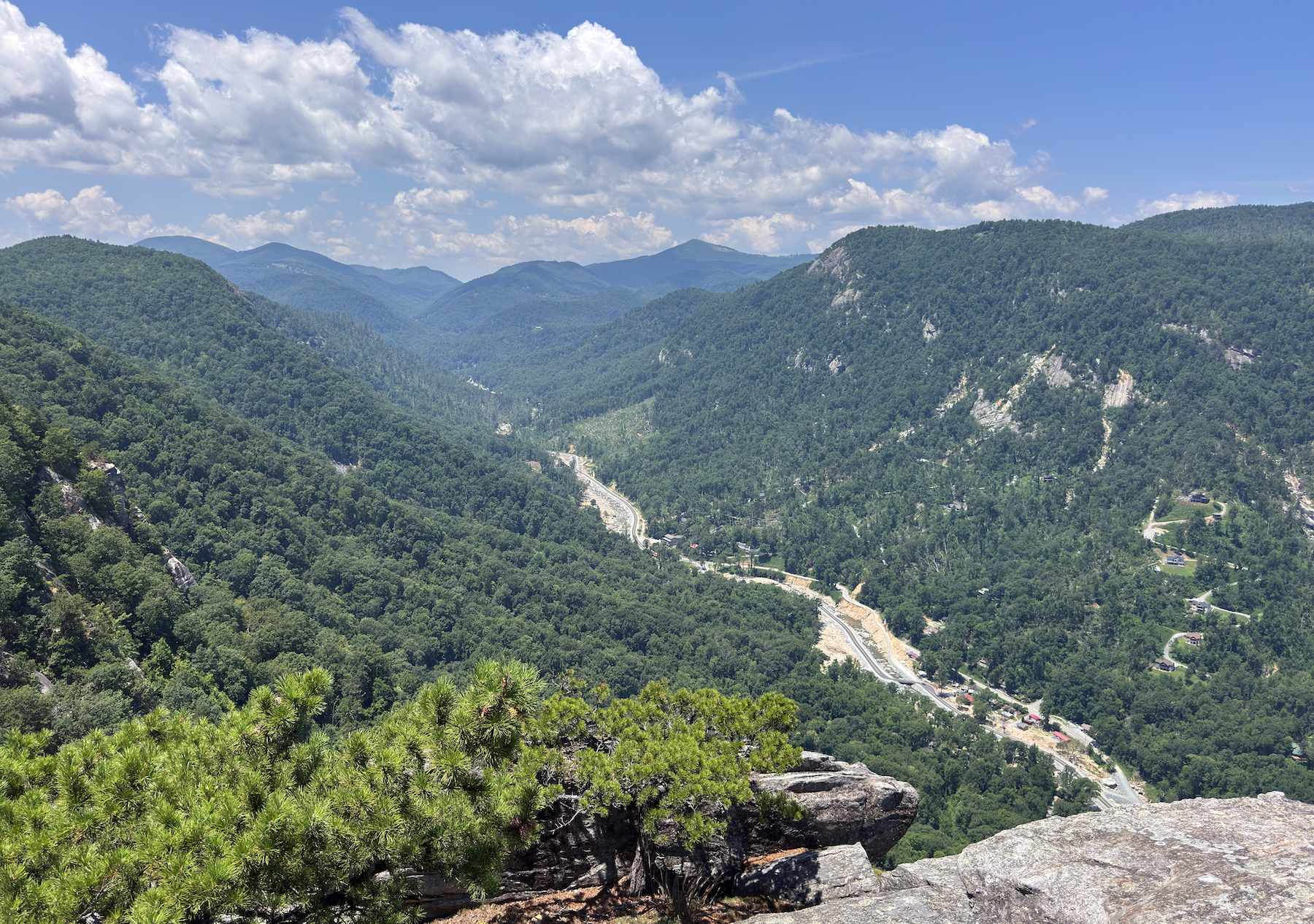
>and now this is gonna be one of my stopsdon't forget the blowing rock and grandfather mountain they both cost money but are nice
and if you head SW the tallulah gorge and brasstown bald are gr8