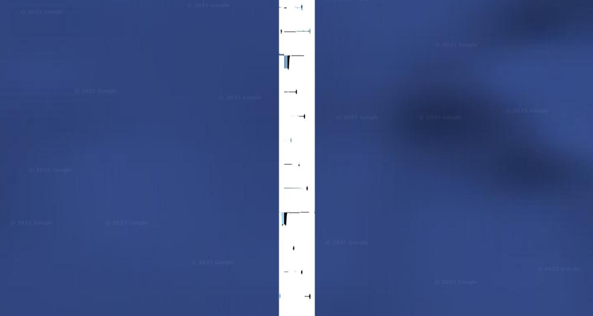
Why is there a long vertical strip of higher definition imagery above Wrangel Island that seems to spell out something in morse code or some kind of machine language? search up wrangel island and pan north to see what I mean.
There is no truth to this. Put the weed down man. Those are stitching fixture marks, tells the person stitching the satellite images together where to put the edges of the images.
>>40738941nah it's clearly some kind of message. it looks so out of place
The line is a satellite image of ocean and glaciers there is another line on the other side of Siberia if u look a the space between the glaciers it would say z in morse code
>>40738904 (OP)Nigger doesn't know about image artifacts
>>40738904 (OP)when you have schizo, everything is a sign
Theres satellie hacker guys on youtube contact them and see if you can get higher res images of whatever you want
I think we could do a multiple pass run over antarctica to create a 3d slope map and see if there is anything down where the strava heatmap stuff was