hello my name is Tóntoe Himén and I fought in Vietnam.
Me and my platoon are currently planning a 50 year reunion tour where we flying into Vietnam and try to kill
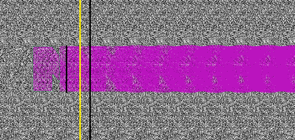
some Viet Cong in rural zones of Vietnam. A computer nerd took screen shots of a large section of area where we
are going to do battle but the data is too large to fit on the flash drive. He recommended that we produce an
algorithm to defoliate the images by removing the green color to keep only the road and trail data. The issue is
that the google earth road map names have green shades and are obscured by our green removal algorithm. What do?
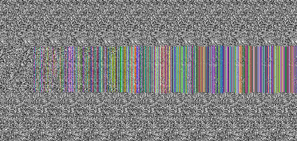
Can you help. here is our green color base removal image.
https://desuarchive.org/k/thread/62584414