← Home ← Back to /x/

Thread 40675932

12 posts 4 images /x/
Anonymous No.40675932 >>40675980 >>40675984 >>40676030 >>40676253 >>40678090 >>40679461 >>40679535
What Is This!!???
AT AREA 51

37°37'39"N 116°50'53"W
Anonymous No.40675980 >>40676015
>>40675932 (OP)
google earth shows that it has been there since 1985. how did you find this anon?
Anonymous No.40675984
>>40675932 (OP)
nothing burger
Anonymous No.40676015
>>40675980
Just browsing
Anonymous No.40676030 >>40679566
>>40675932 (OP)
Is it an overlay or Is it actually part of the terrain?
DoctorGreen !DRgReeNusk No.40676253
>>40675932 (OP)
curious 1
obviously
Anonymous No.40676298
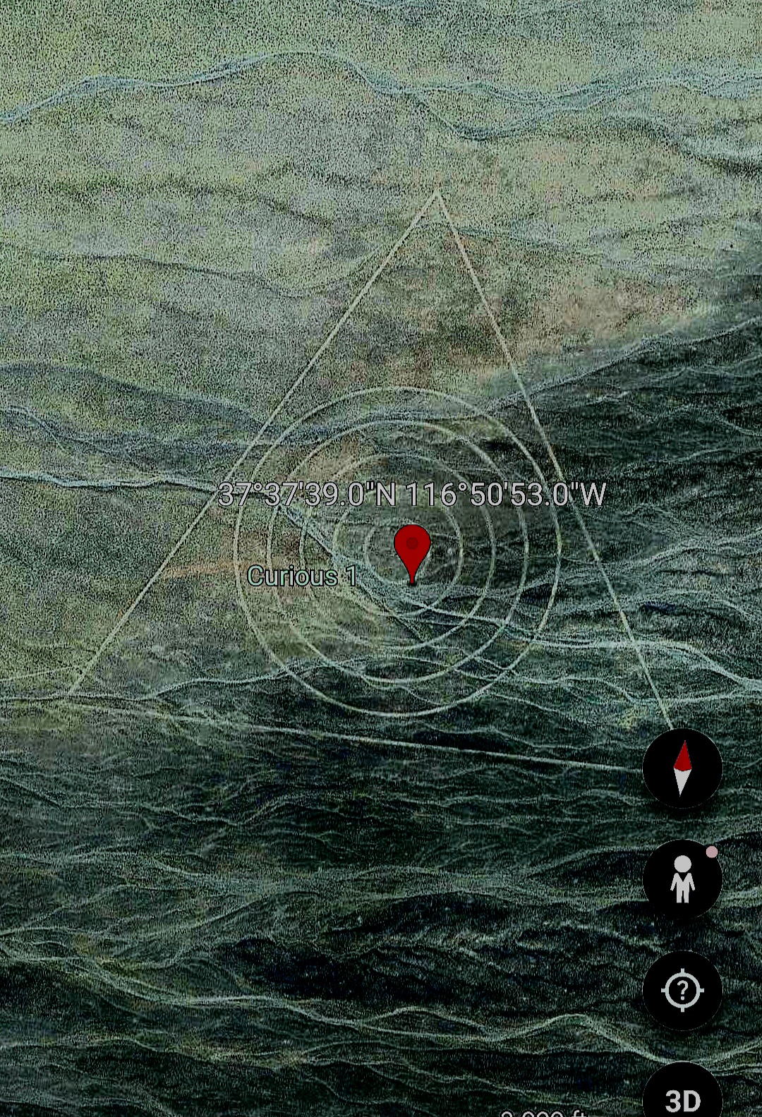
At it's most narrow, it's just a giant target drawn into the ground so they have something to aim at when dropping munitions. Of course, you'd be a fool to believe that there's anything at Area 51 with how well known it is
Anonymous No.40678090
>>40675932 (OP)
Is this some kind of sleeping dragon? Like red line in one piece? Only ours is possibly white colored. Would give a new meaning to ouroboros symbol
Anonymous No.40679461
>>40675932 (OP)

it is at 1600 meter height
it has triangle

could it be 1600 megawatt power plant
Anonymous No.40679535 >>40679540
>>40675932 (OP)
>sides of the triangle are 1km not 1mile
Nazi science
Anonymous No.40679540
>>40679535
>Nazi science
Nice chain of thinking.
Anonymous No.40679566
>>40676030
It is an older form of calibrating satellites, before GPS was a thing.